
Import project data
Bring drawings, point files and models into VCAD. You can also import polyface meshes directly.
Bring points, levels and drawings together in VCAD. Check the project data on the map and edit it in 2D and 3D, directly in your browser.
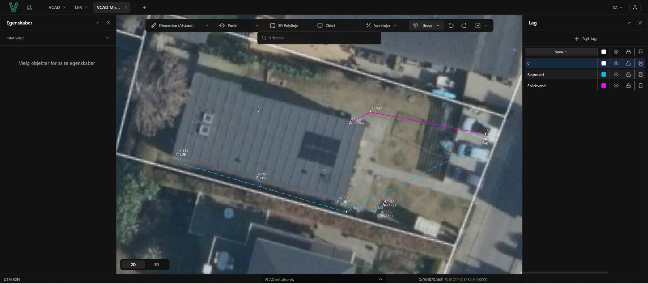
Bring drawings, point files and models into VCAD. You can also import polyface meshes directly.
View data in 2D and 3D alongside background maps, and work with drawing geometry, layers and levels.
Export to a format that fits the next task, or put your documentation together in a PDF plot.
VCAD automatically converts polyface meshes to polyline blocks. With Pro, you can create and trim a surface from them, then export it as LandXML for machine control.
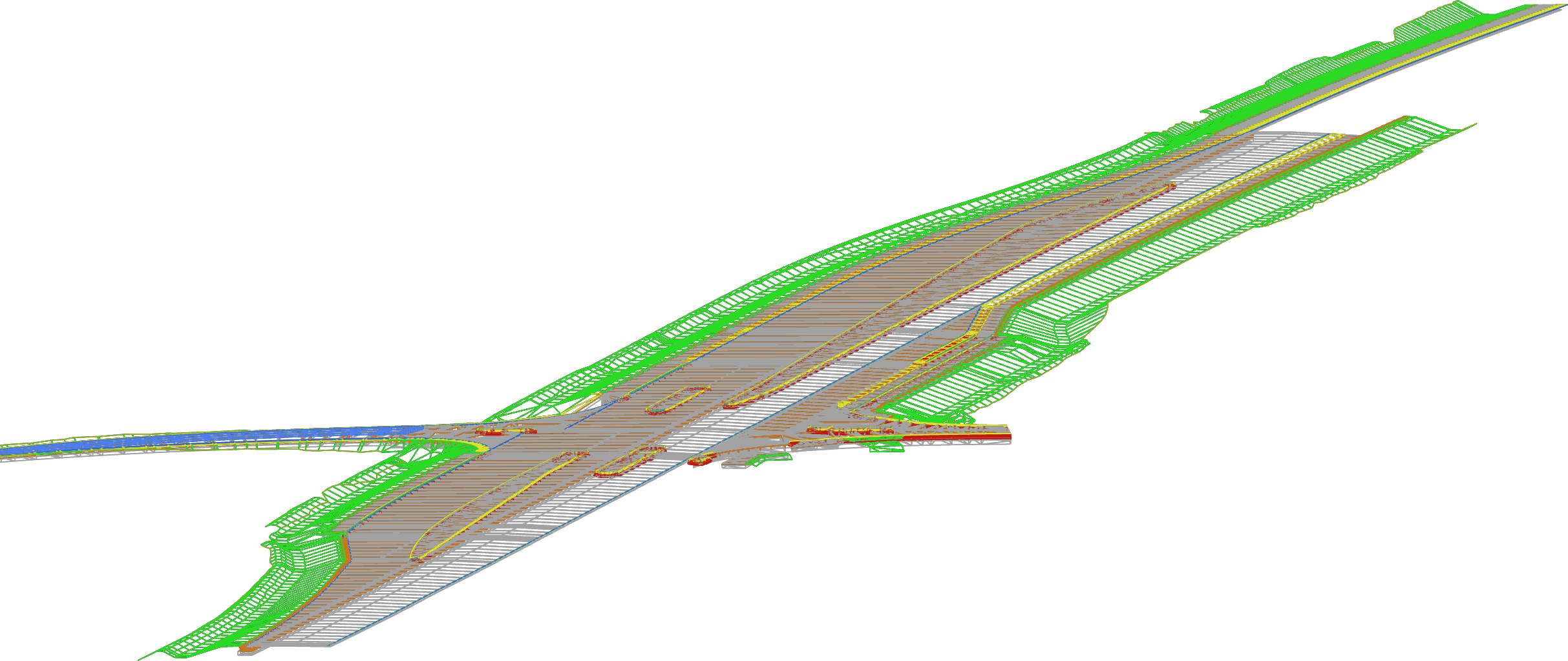
Deliver drawings as DWG or DXF, surfaces as LandXML, or points in a point file. For documentation, bring the work together in a PDF plot.

Ryan, surveyor, M.J. Eriksson A/S
Ryan has used VCAD in his day-to-day work, and his verdict is clear: it was easy and quick to get started with. No installation, no waiting, just log in through the browser and get going. Day to day he uses VCAD for quality assurance and data processing, and it has become a fixed part of his workflow.
Import formats including DWG, DXF, LandXML, GML, KML, Shapefile and TXT point files. VCAD also supports direct polyface mesh import.
Work with project data in 2D and 3D. Combine drawings and survey data with maps, and organise the content in layers.
Create and trim a surface, then export it as LandXML. When working with pipes, you can raise them to 3D and export them as DXF.
Drawing, maps and import/export are part of VCAD Basic. VCAD Pro adds surface modelling, volume calculation, cross-sections and profiles.
For everyday drawing, data processing and documentation.
For working with terrain, surfaces and quantities.
We sell VCAD by subscription through local resellers. You can start with Basic and upgrade to Pro later, keeping the same drawings.
Yes. On import, VCAD automatically converts polyface meshes to polyline blocks. From there, you can create a surface, trim it and export it as LandXML with VCAD Pro.
Import formats include DWG, DXF, LandXML, GML, KML, Shapefile and TXT point files. Exports include DWG, DXF, LandXML, TXT point files and PDF plots.
Yes. Ryan at M.J. Eriksson describes quality assurance and data processing as a regular part of his work in VCAD. You can read his experience on this page.
You can get a 7-day trial through one of our resellers. Contact us at info@vcad.dk, and we’ll help you find a reseller.
VCAD supports a wide range of that you can easily import by dragging your files onto the drawing canvas.
Basic includes 2D and 3D drawing, maps, palettes, import, export and PDF plots.
Pro includes everything in Basic, plus surfaces, volume calculation, profiles and cross-sections.
You can start with Basic and upgrade to Pro later, keeping the same drawings.
VCAD runs directly in the browser on a standard PC, with no installation required. We recommend Brave or Microsoft Edge 64-bit.
VCAD automatically saves your changes locally in the browser you are using, including when the internet connection drops. The Save button downloads a DXF file with the drawing and its settings, which you can open in VCAD on another PC. Cloud storage is an optional extra.
We sell VCAD by subscription through local resellers. Contact us and we will help you find a reseller. You can add support through your reseller.